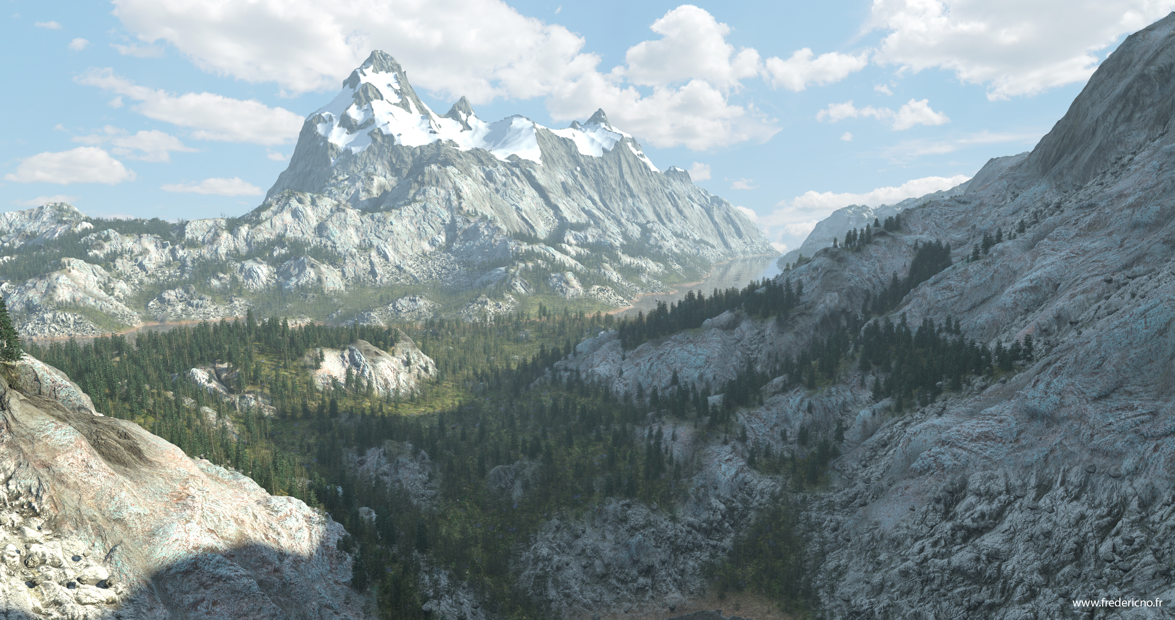
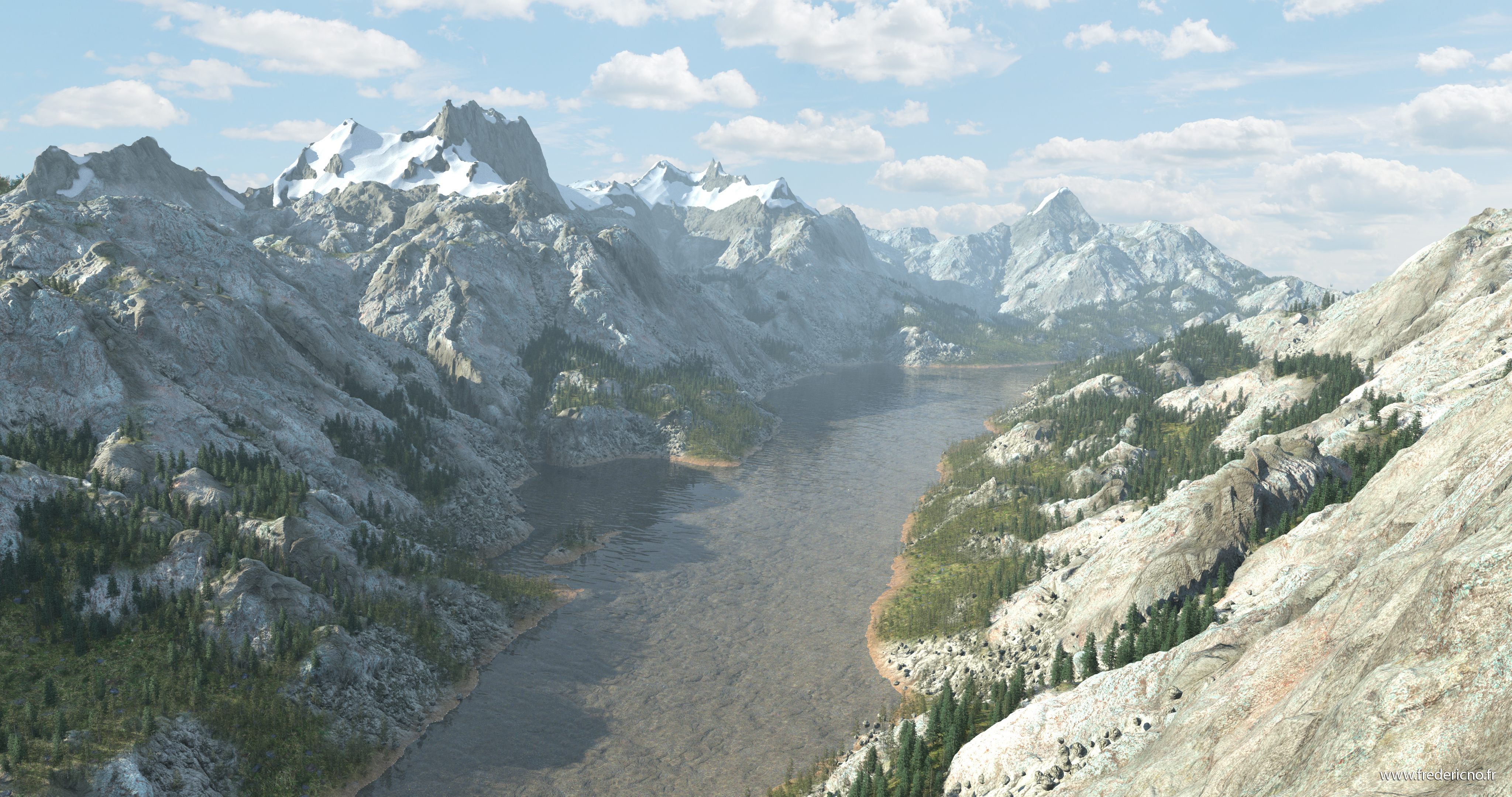
…with very quick and bad Photoshop compo sorry no time 😉
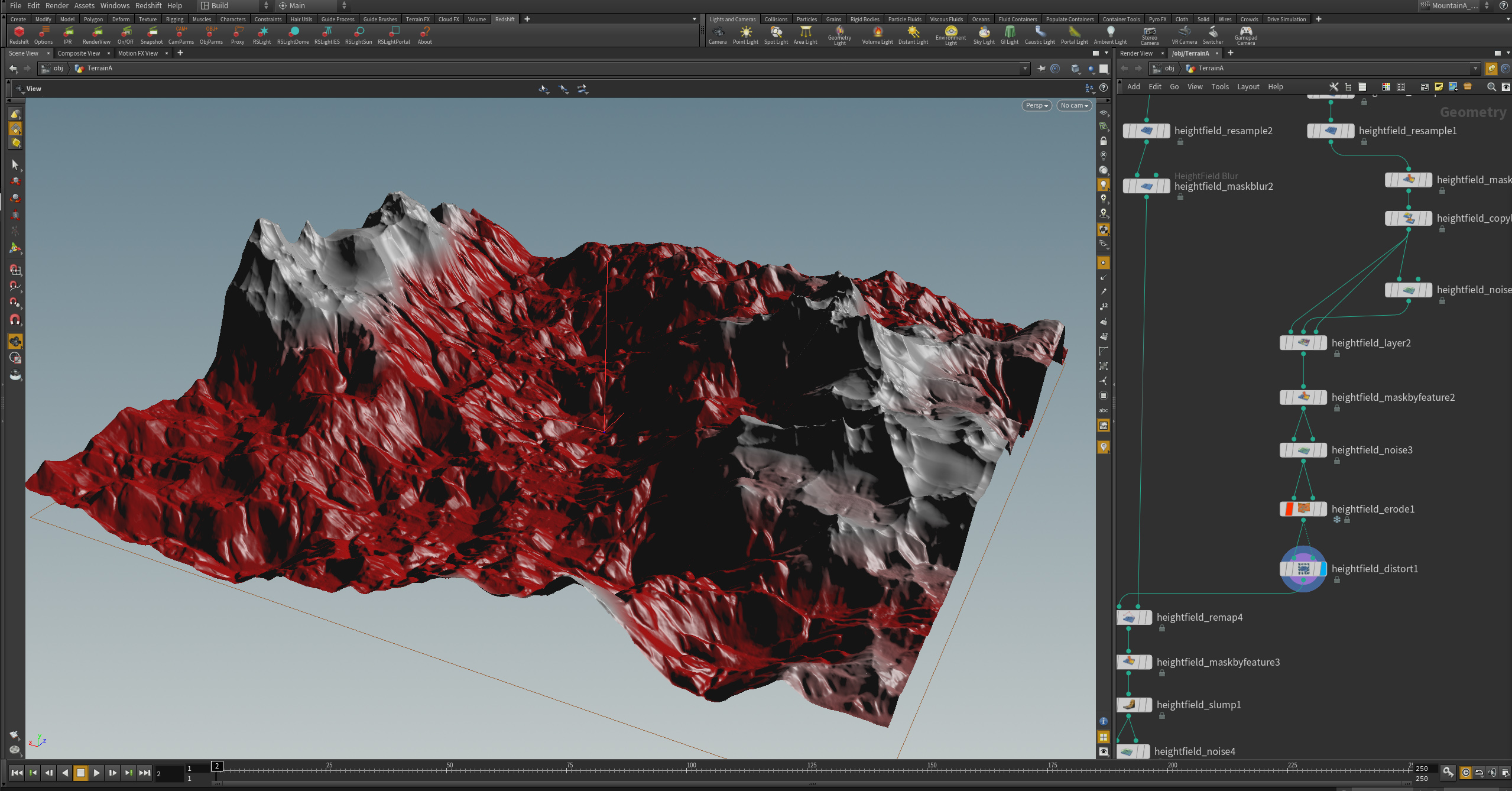
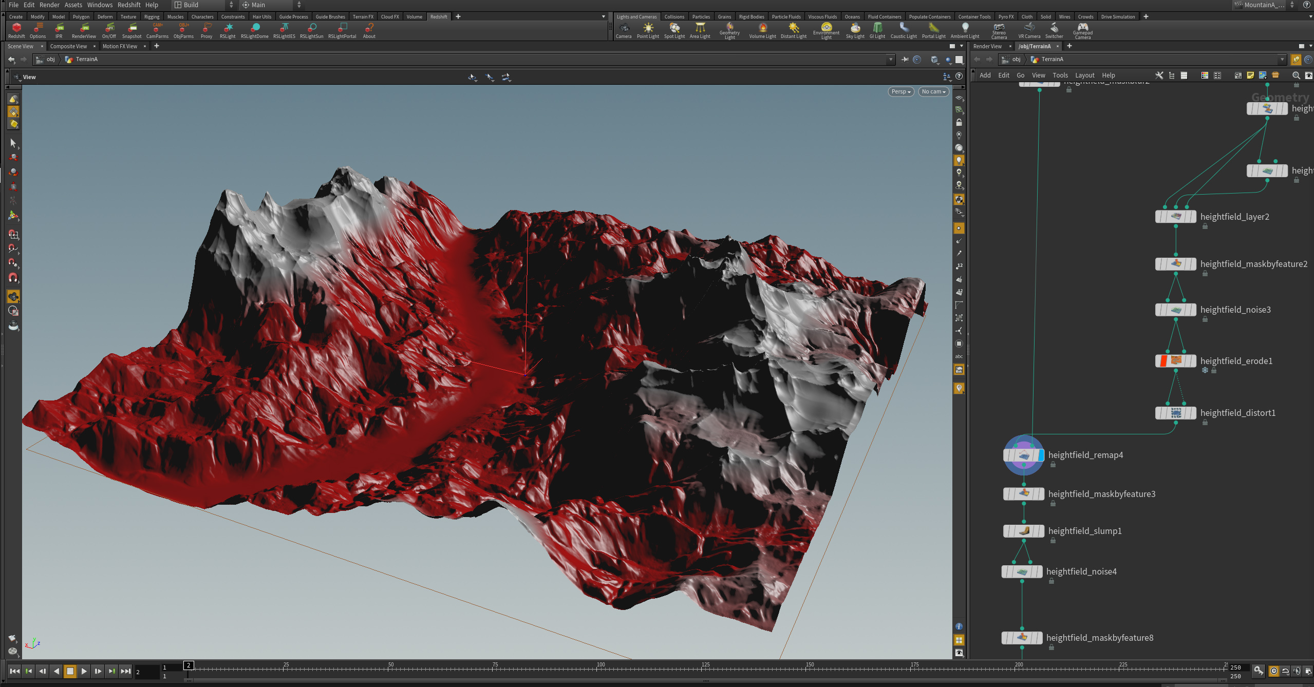
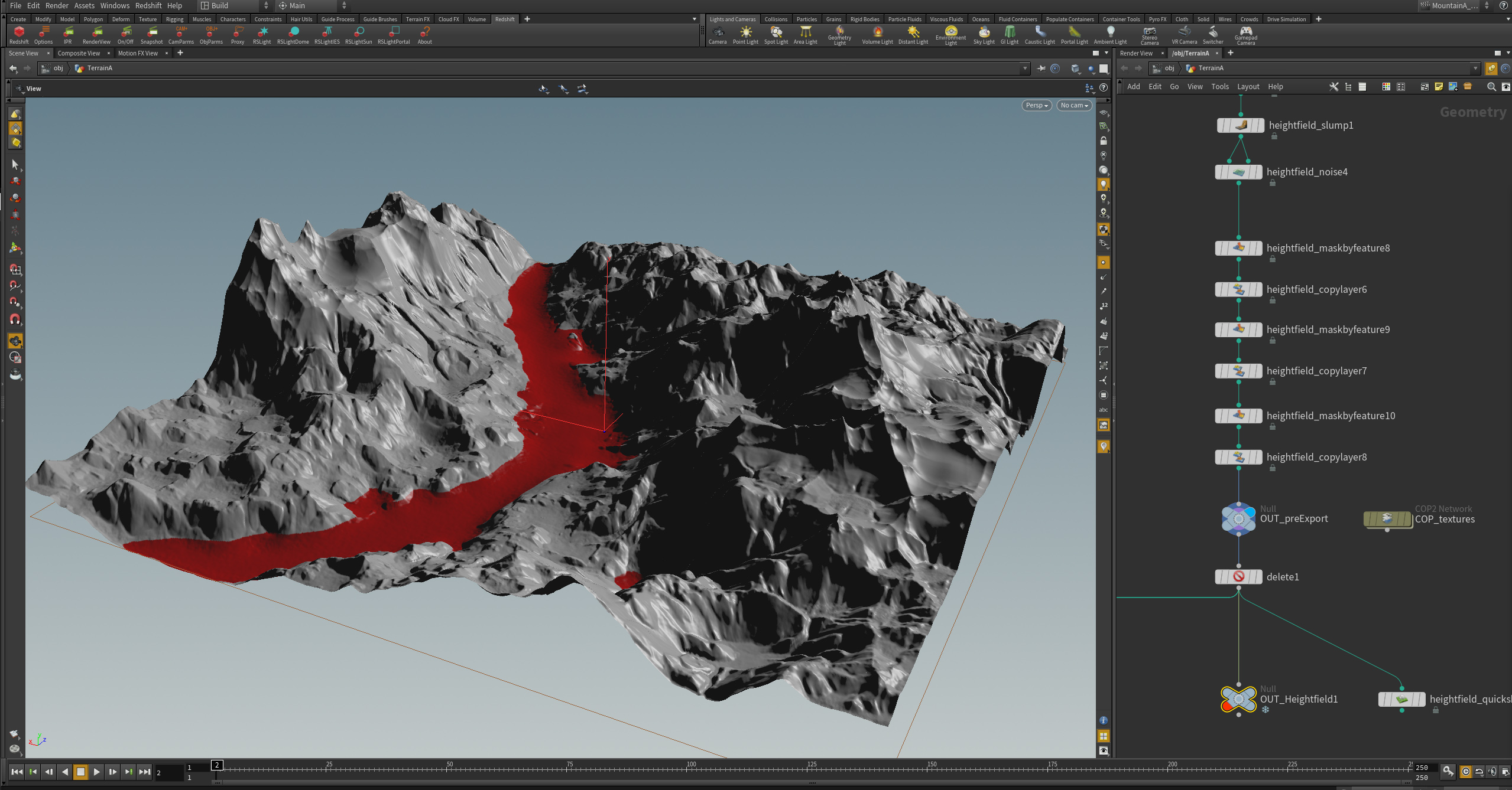
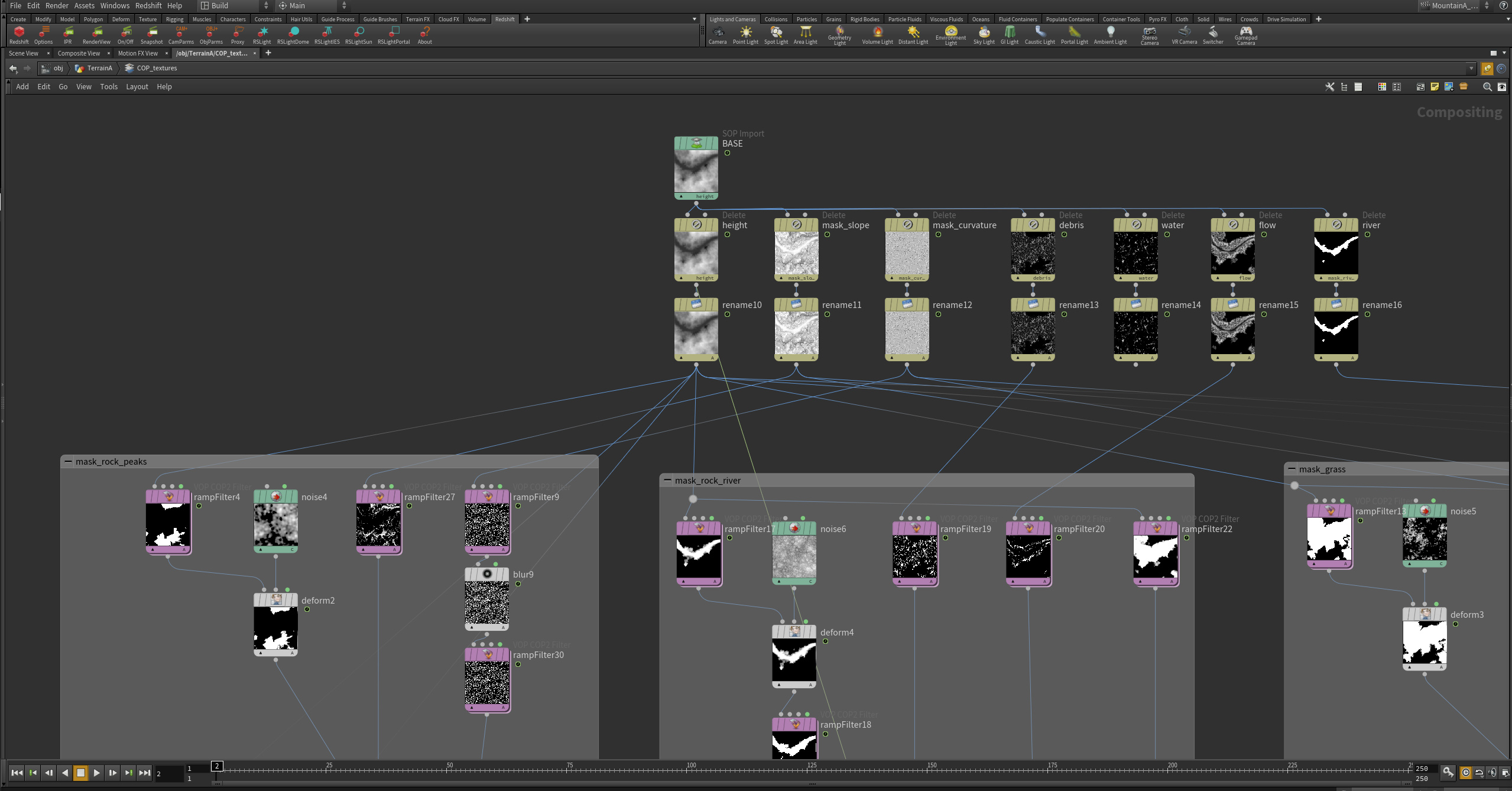
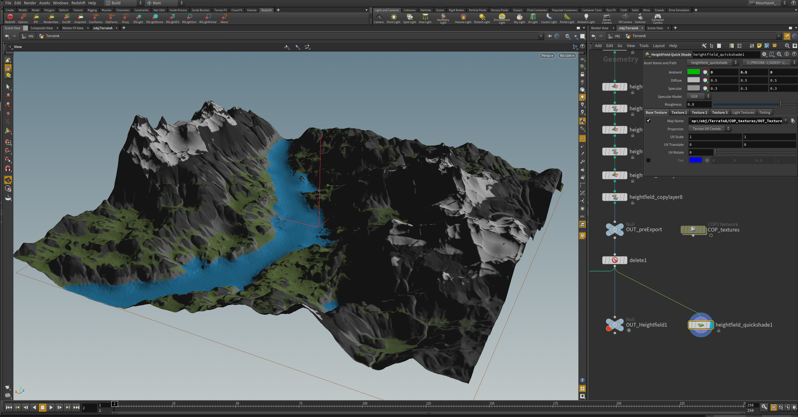
Main goal, more than testing the very great Houdini’s “Heightfield” tools, was to build a workflow based on Cops, so third-party renderers could easily read masks and textures generated by the Heightfield tools suite.
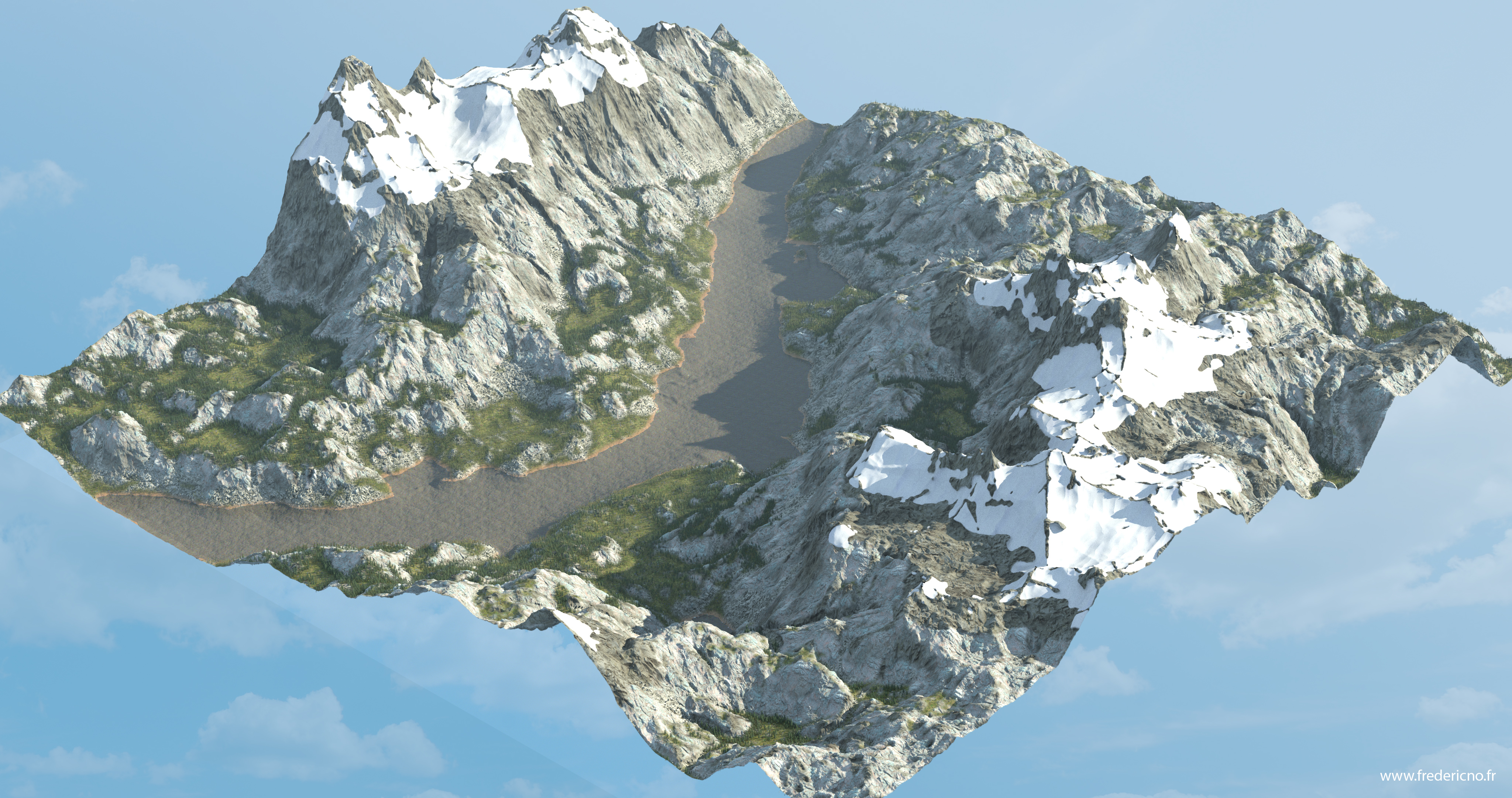
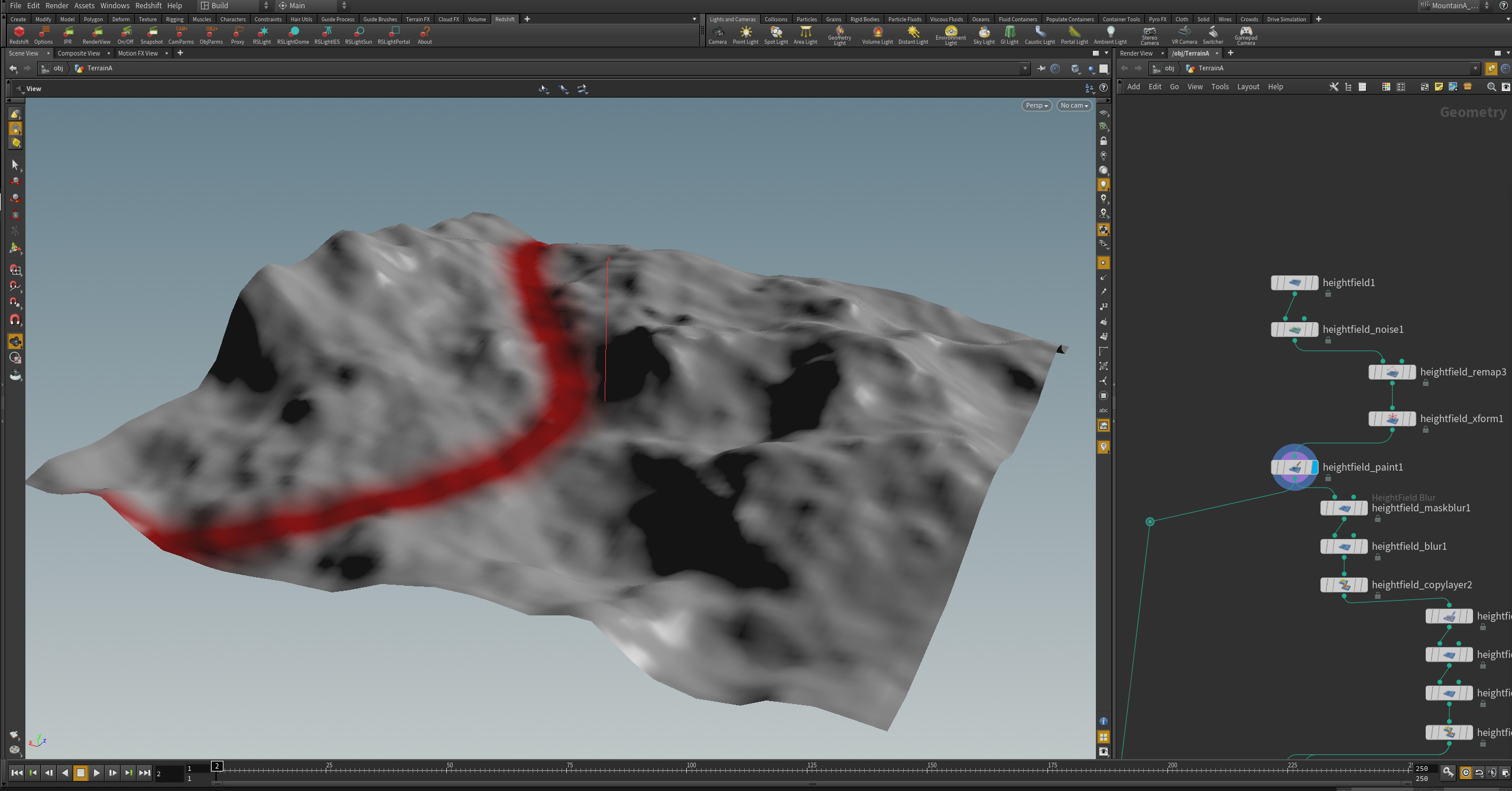
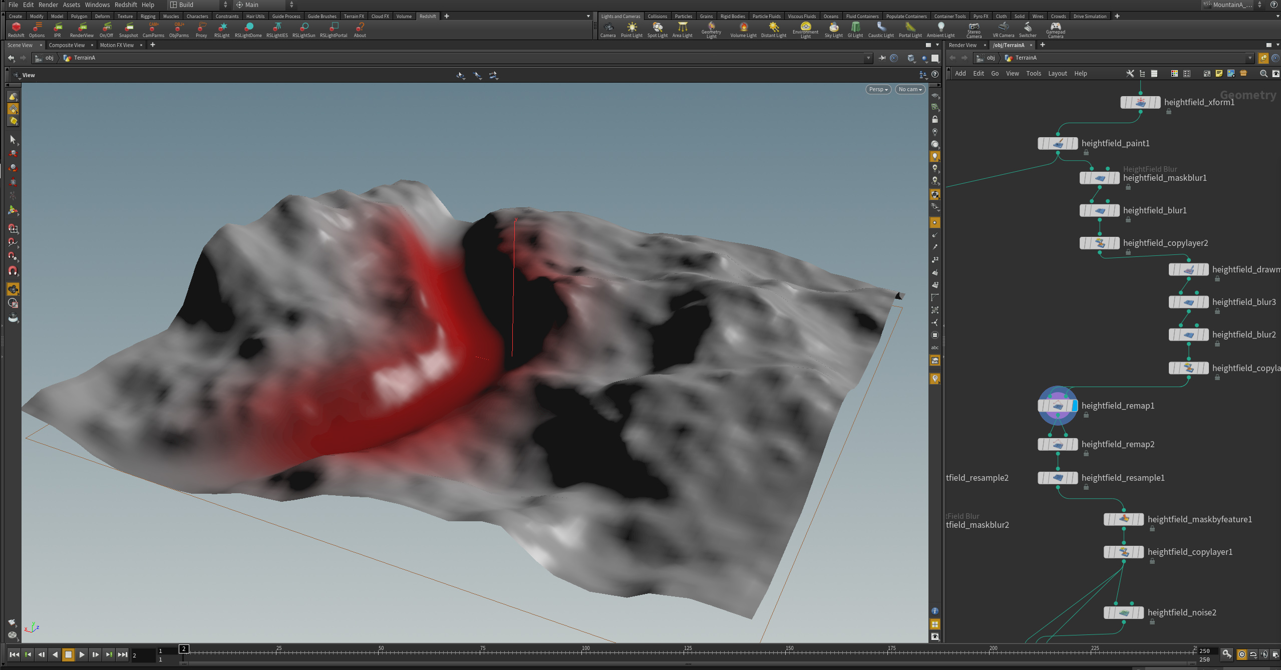
Terrain base Shape
First starting with a lowres grid (100×100), for placing the global volumes, and tracing the river zone.
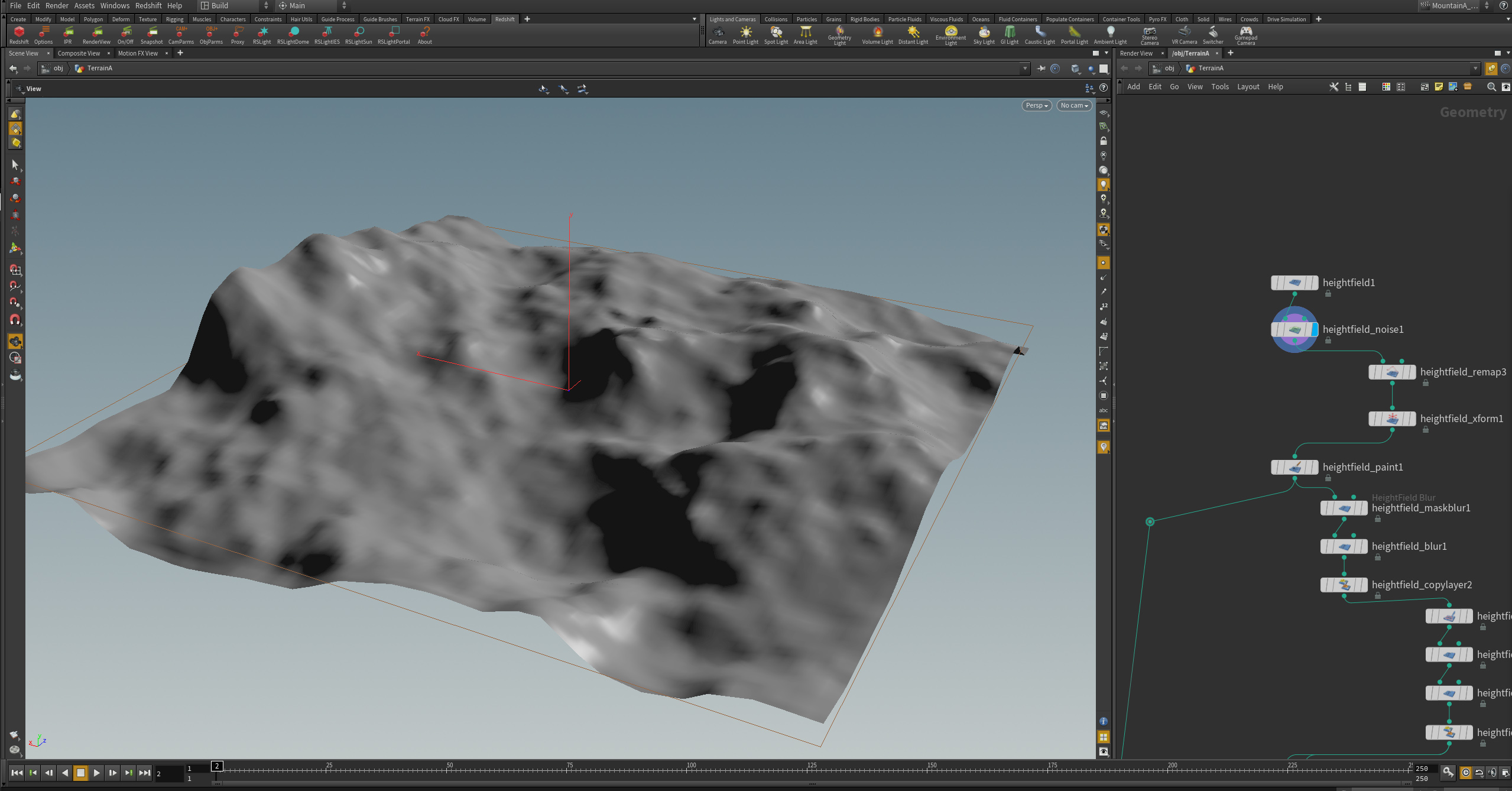
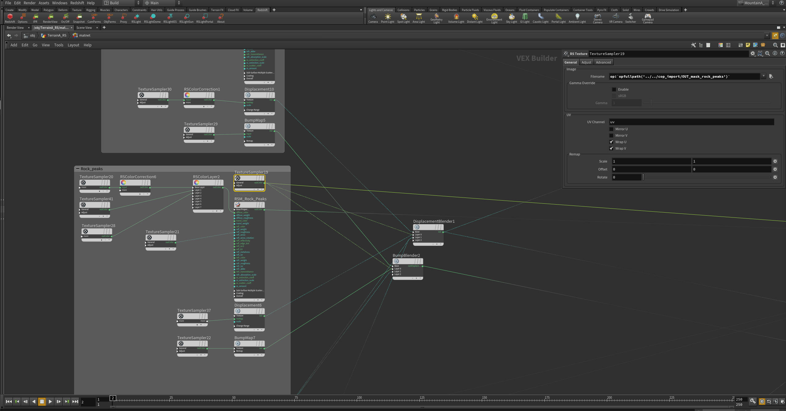
As the aim was to create a third-party render-friendly asset (thus I’m using Redshift), it had to be able to export “standard” type of data including maps, which are originaly based on native heightfield masks. To do this they had to be translated into Cops, which also permit more complex mask/textures generation.